Upload your existing planning drawing
Start from a CAD export, hand sketch, zoning diagram, site layout, or aerial base in JPG, PNG, or WebP format.
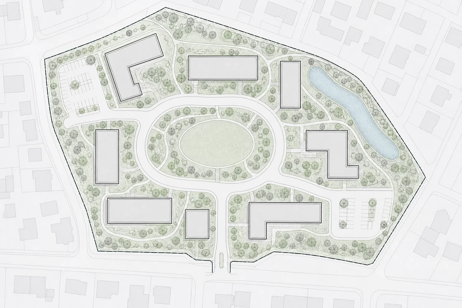
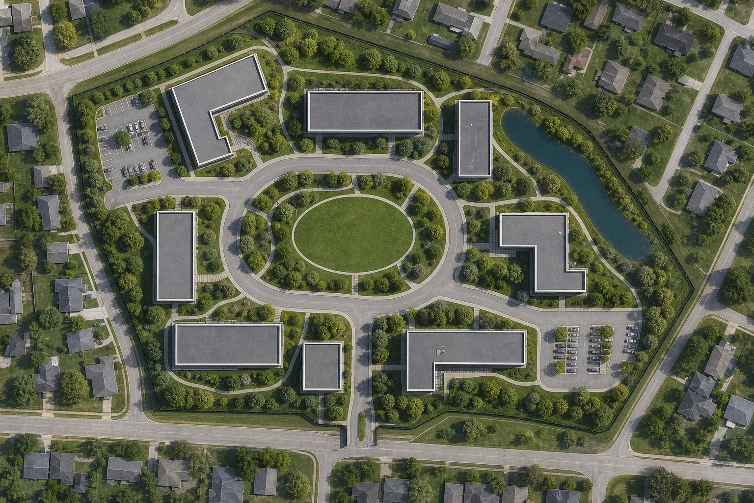
Upload a site plan, CAD export, zoning diagram, or aerial base. ImagineMyHouse adds photorealistic materials, planting, architectural depth, and context while preserving the roads, plots, and building footprints that define your proposal.
Render your masterplan nowKeep the planning logic you already developed and spend your time choosing how the proposal should be communicated.
Start from a CAD export, hand sketch, zoning diagram, site layout, or aerial base in JPG, PNG, or WebP format.
The workflow adapts automatically whether you upload an individual site, a campus, a neighborhood, a commercial complex, or a mixed-use district.
Generate photorealistic aerial renders, clean colored site plans, or refined architectural illustrations from the exact same layout.
A strong masterplan visual gives clients, investors and project teams a shared picture before detailed visualization begins.
Preserves site boundaries, road networks, building footprints, parking layouts, and open-space relationships with high fidelity.
Explore multiple material and landscape treatments without rebuilding complex 3D scenes for every concept review.
Transform flat linework into compelling visuals that clearly communicate materials, greenery, density, and scale at a glance.
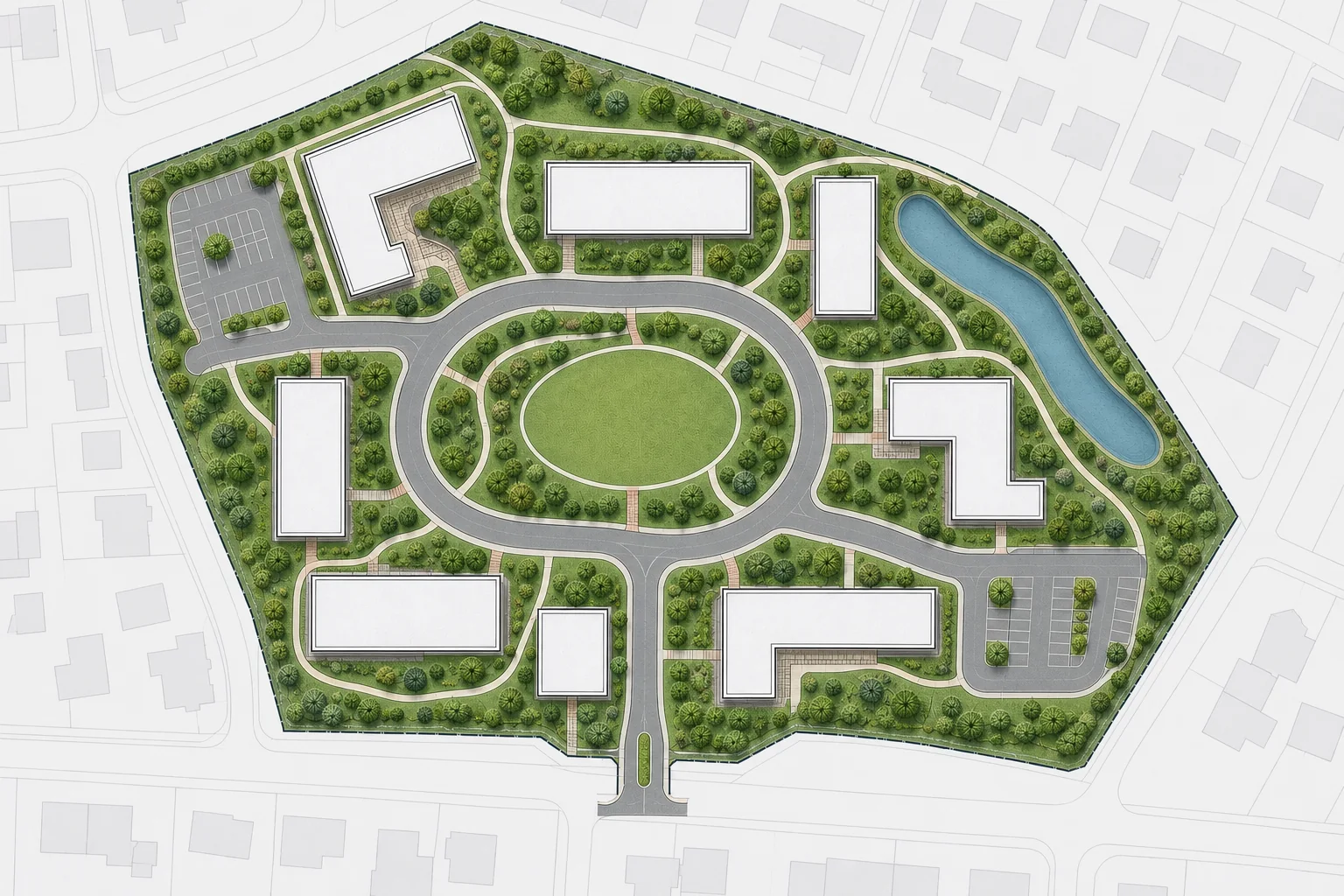
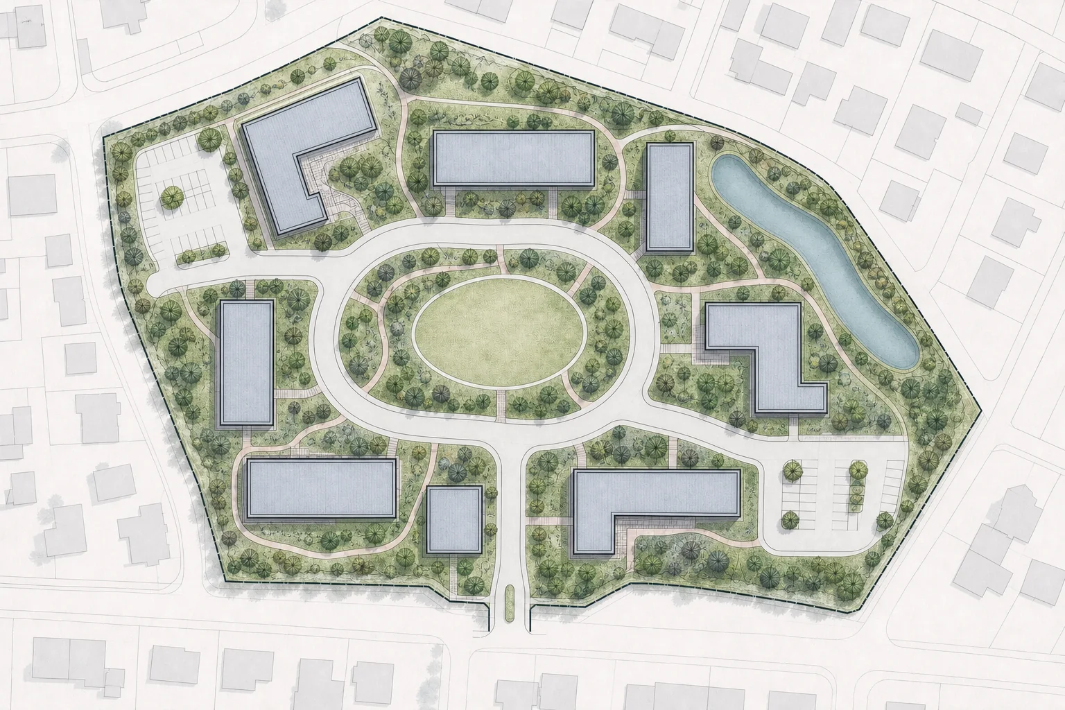
Use AI masterplan rendering where visual clarity matters, while keeping regulatory and construction decisions with qualified professionals.
Visualize housing clusters, access roads, shared gardens, parking and pedestrian connections across a development site.
Present the relationship between buildings, courtyards, plazas, landscape corridors and circulation routes.
Turn an early planning drawing into a clear visual for concept reviews, pitch decks and presentation boards.
Choose a plan with clear boundaries, roads, building footprints and landscape zones. Remove unrelated notes around the canvas when possible.
Prompt for project type, planting, paving, roof materials or presentation mood. Keep major layout revisions in your planning software.
AI output is intended for concept visualization. Check every building, route, boundary and planning requirement before using it in a professional submission.
You can upload a clear site plan, masterplan, zoning diagram, architectural planning sketch or aerial base as a JPG, PNG or WebP image.
No. The workflow reads the uploaded drawing and automatically adapts its detail density for an individual site, campus, neighborhood, complex, or larger district.
No. This workflow is built to render your existing design. It preserves your building footprints, roads, parcel boundaries, and spatial logic while adding photorealistic textures, greenery, materials, and atmospheric depth.
Yes. The workflow is designed to lock roads, pedestrian paths, site boundaries, building counts, and footprints. Output should always be reviewed by your team before formal submissions.
Yes. Choose Photorealistic Aerial to add realistic buildings, roads, planting, paving and surrounding context while retaining the uploaded plan as the structural reference.
Yes. Colored Site Plan keeps a direct top-down presentation with clearer materials, zones, planting and subtle graphic depth.
No. The result is a concept and presentation visualization, not a survey, CAD drawing, code analysis or permit-ready document.
Yes. All uploaded drawings and rendered masterplans are processed with enterprise-grade security and saved to your private project history. Your plans are never published publicly or shared with third parties.